
Say “Brazilian rainforest” and the finger goes northwest, to the Amazon. Fair — the Amazon is the heavyweight. But the coast where Brazil actually began — Cabral’s landing, sugar, coffee, Rio, São Paulo — sits inside another moist-forest world entirely: the Atlantic Forest, the Mata Atlântica.
In Map Real Size’s rainforest catalog:
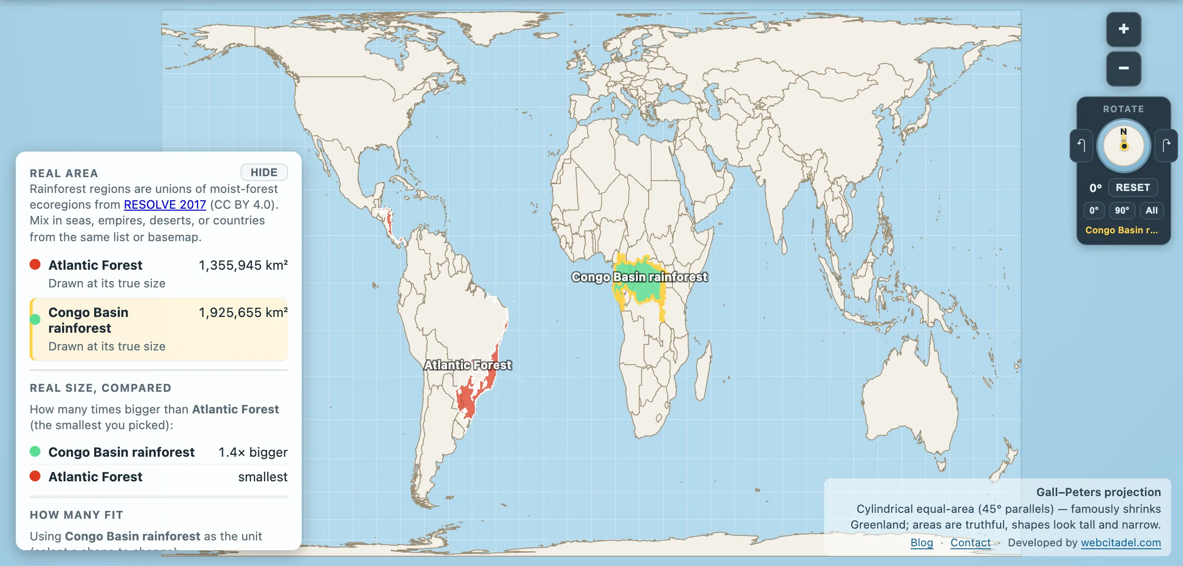
Atlantic Forest: 1,355,945 km². Congo Basin rainforest: 1,925,655 km².
Not Congo’s rival for second place on Earth, nowhere near the Amazon, and still larger than Peru — about two Frances of biogeographic region — while most people treat it like a footnote that wandered inland and died.
It did not die. It was cleared. The country is even named after one of its trees: brazilwood (Paubrasilia echinata), the dye-wood that filled early colonial holds, now listed as critically endangered in modern assessments.
Hotspot on a harbour
Portuguese colonisation started on this shore. Cities and highways arrived here first. Something like 70% of Brazilians live in or around the Atlantic Forest’s historic footprint — which is exactly why the canopy lost. Conservation estimates of what remains usually land between roughly 12% and 24% of original forest cover, depending on whether you count tiny fragments and secondary growth. The place can feel absent even when the ecoregion on the map is huge.
And the ecoregion is both huge and absurdly rich:
- Often cited among the world’s top biodiversity hotspots: on the order of 20,000 plant species, thousands of them endemic — plants that exist here and nowhere else.
- Local inventories have recorded hundreds of tree species in a single hectare in the best patches, diversity that makes temperate forests look underfurnished.
- A 2024 Science assessment of Atlantic Forest trees found about two-thirds of all tree species — and roughly 82% of endemic trees — meeting criteria for threatened status. The golden lion tamarin became the charismatic mammal face of the same squeeze.
- Patchiness is the other story: much of what survives is in fragments, many small, many edged to death by roads and farms.
The Amazon had remoteness as armour. The Atlantic Forest had harbours. Guess which one kept more trees.
What the shape on the map actually is
Map Real Size draws RESOLVE moist-forest ecoregion unions — biogeographic regions — not a live canopy layer. The 1.36 million km² is that regional outline. Remnant forest cover is smaller, patchier and tracked by SOS Mata Atlântica / INPE-style monitoring, not by this polygon alone.
Open Atlantic Forest vs Congo on Gall–Peters, equal-area on purpose so the tropics are not visually shrunk. Drag the Atlantic Forest onto Africa. Add the Amazon from the picker if you want both of Brazil’s green empires on one screen. Size was never this forest’s only problem. Attention — and bulldozers — were.
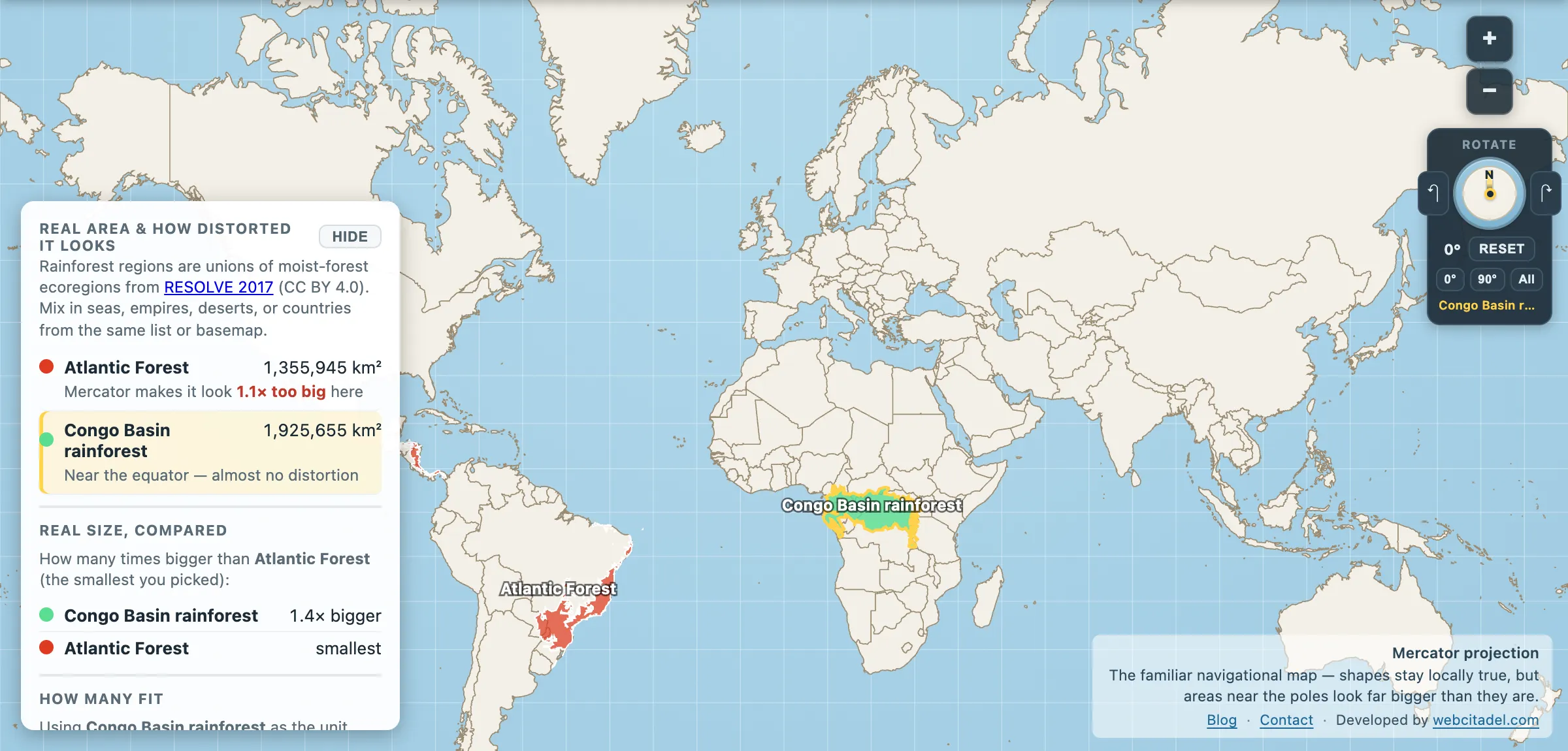
The same shapes on Mercator — the projection almost every map you see uses. Watch what it does to anything far from the equator.
Sources & methodology
- Region areas: RESOLVE Ecoregions 2017 moist-forest unions (CC BY 4.0).
- Remnant cover & threat: SOS Mata Atlântica / INPE monitoring ranges; Ribeiro et al.–style landscape studies (~11–16% in older fragment analyses); Lima et al. 2024 (Science) on tree extinction risk. Percent-remaining figures move with year and forest definition.
- Peru comparison uses commonly cited ~1.28 million km² land area — order of magnitude, not a border survey.