
Every American state argument eventually lands here. Texas is the big one. Everyone knows that. The trucks say so. The slogans say so. Half the internet says so.
Alaska would like a word.
Alaska: 1,518,878 km². Texas: 688,751 km².
Alaska is 2.2 times bigger. You could drop Texas into Alaska twice and still have room for a Switzerland of leftover ice and attitude. Mexico, for context, is 1,962,308 km². So Alaska is in Mexico’s weight class, not Texas’s.
Why Texas wins the reputation contest
Two reasons, and neither is acreage.
First, people. Texas has about 30 million. Alaska has about 730,000, fewer than Austin. Empty land doesn’t lobby as hard.
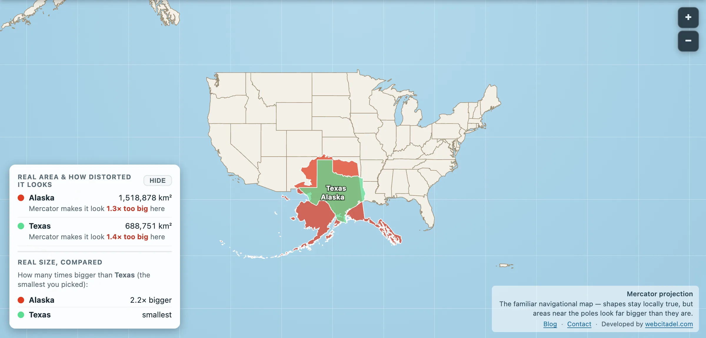
Second, the Mercator projection. Alaska sits between roughly 51 and 71 degrees north, deep in the stretch zone. On the wall map it balloons into a white peninsula the size of a daydream. That inflation is real as ink and fake as area. Drag it south and the costume comes off.
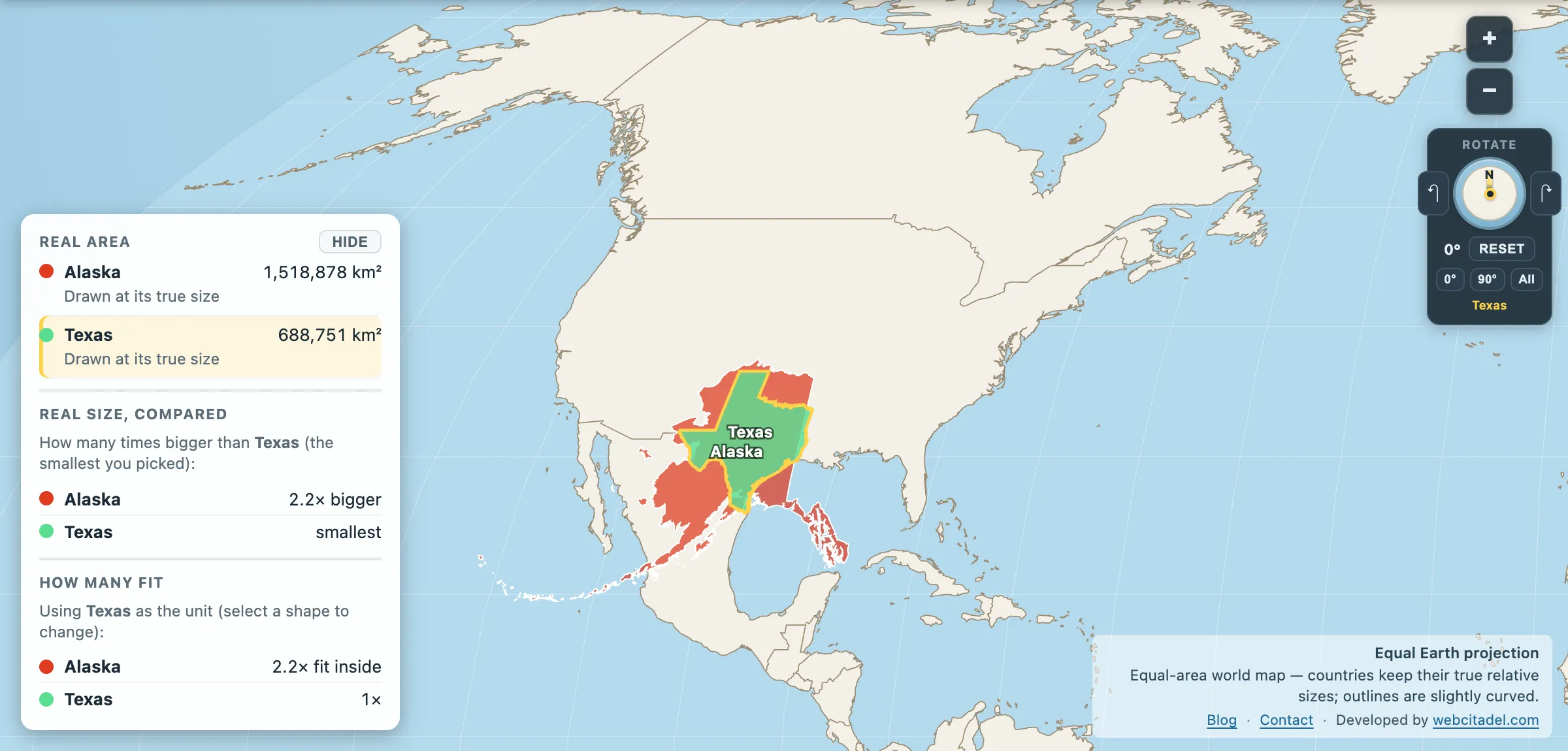
The same shapes on Equal Earth, where every square kilometre is drawn the same size wherever it sits. This is the honest version.
Put them on the same latitude
Open Alaska vs Texas. Alaska is already parked over the Lower 48 next to Texas, and the bragging rights flip without a speech. Same shapes, honest latitude, no northern free lunch.
Then, for the encore, drag Mexico in from the picker. Alaska still fits inside it. Texas fits inside Alaska. The slogan on the truck was never a survey.
Texas is huge. Alaska is huger. The map has been letting both of them cosplay, just in opposite directions.