
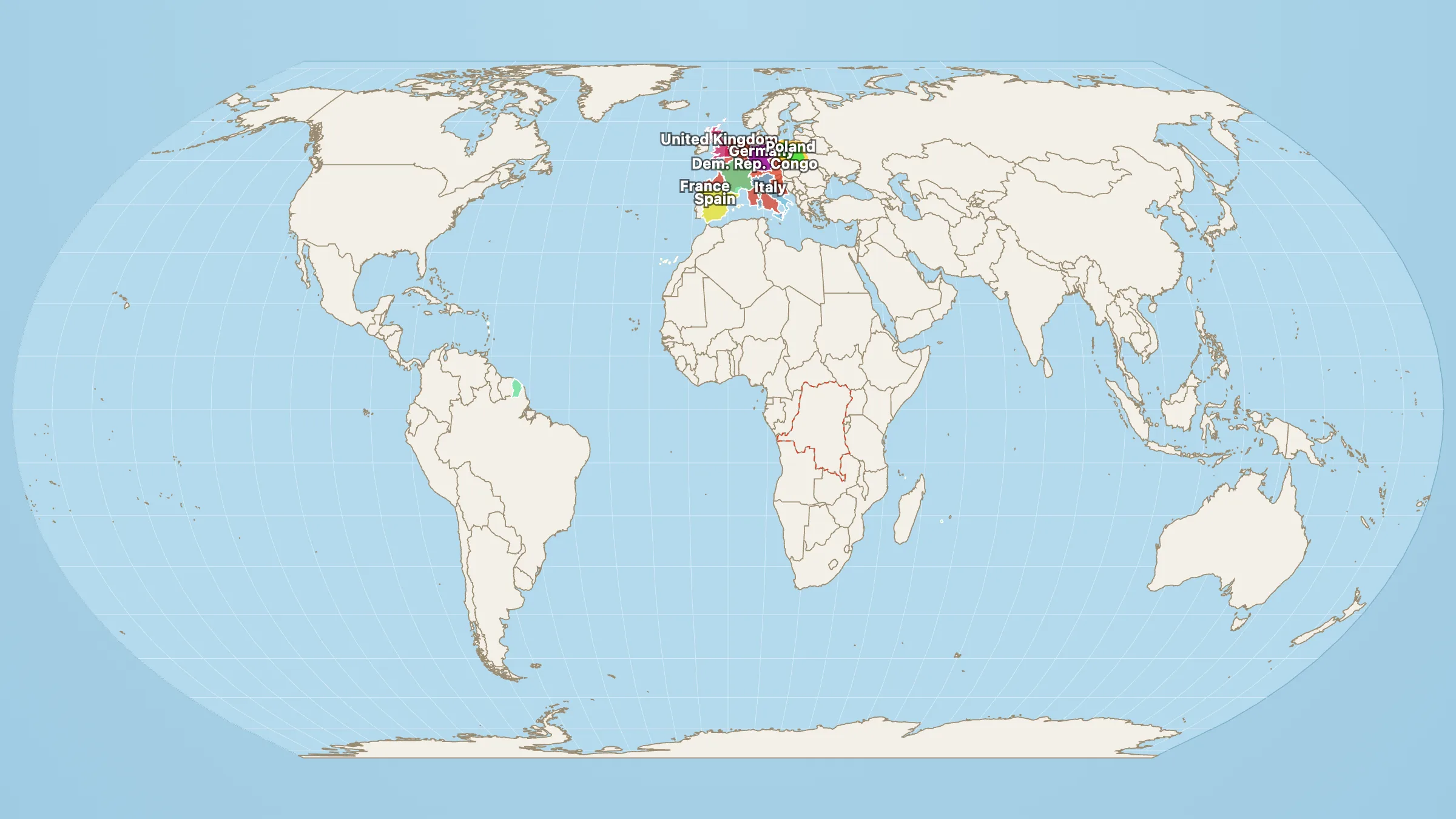
Name six European countries that fill the mental map. France, Germany, Spain, Italy, the UK, Poland. Football leagues, history books, news tickers. The ones that feel like the continent.
Now weigh them as land.
France 635,073 + Germany 356,168 + Spain 506,185 + Italy 300,272 + United Kingdom 239,619 + Poland 312,571 = 2,349,888 km².
Dem. Rep. Congo: 2,334,737 km².
One Central African country matches that whole pack to within about 15,000 km² — roughly Northern Ireland. Six familiar European names. One Congolese outline.
Africa’s largest country (by a whisker)
In Map Real Size’s numbers the DRC edges out Algeria (2,322,822 km²) for the biggest country on the continent. It holds rainforests, volcanoes, a slice of the Great Rift and a river system that drains a huge chunk of Central Africa into the Atlantic. Around sixty per cent of the Congo Basin rainforest sits inside its borders. Kinshasa is one of Africa’s largest cities. None of that usually shows up when people talk about “how big Europe feels.”
Mercator is not the main culprit here. The Congo sits near the equator, so the wall map draws it roughly honestly. Western Europe gets a mild northern boost. The real gap is density and fame: six labelled countries versus one outline school atlases often treat as a green blank.
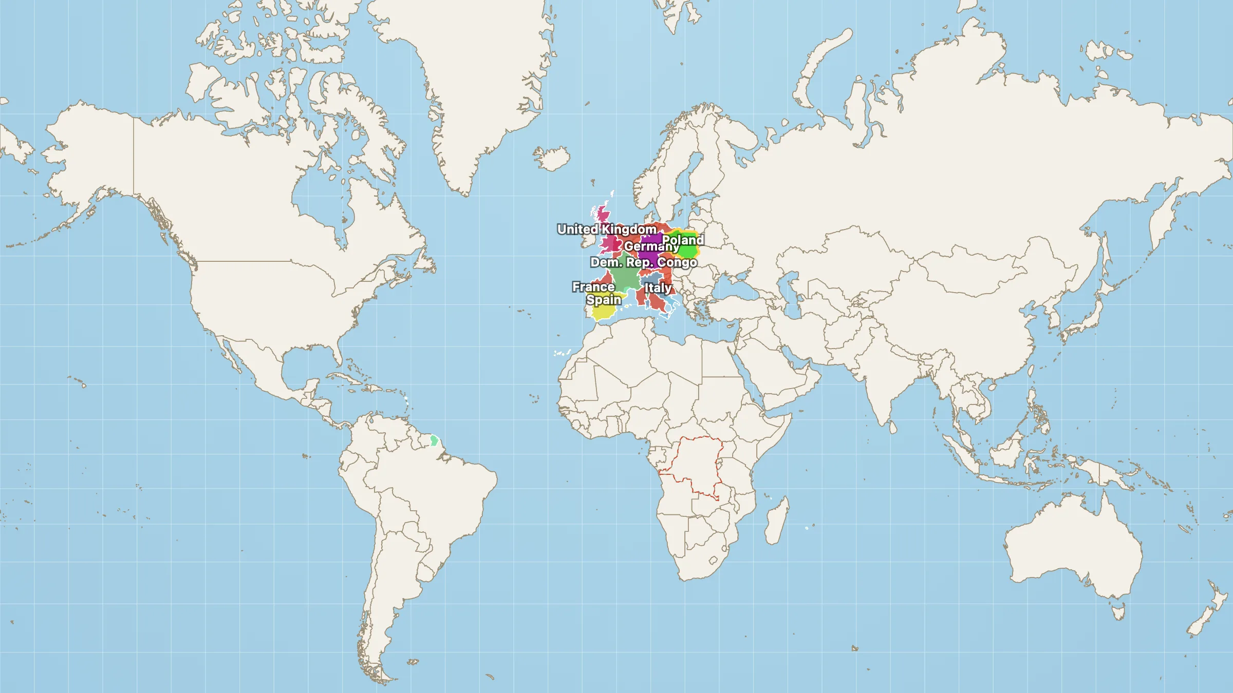
Same shapes on Mercator. Europe looks a little more sure of itself. The Congo does not shrink — it just never got the same billing.
Drop the Congo on Europe
Open the scene on Equal Earth. The Congolese shape is already parked over western Europe with those six countries lit underneath. Most of the familiar map disappears inside one African border.
The short version is on DR Congo vs western Europe.
Then remember this is still only one country inside a continent big enough for the USA, China and India together. The recent UN Correct the Map vote was about whether Africa looks too small on the world map. Comparisons like this are why that argument keeps landing.