
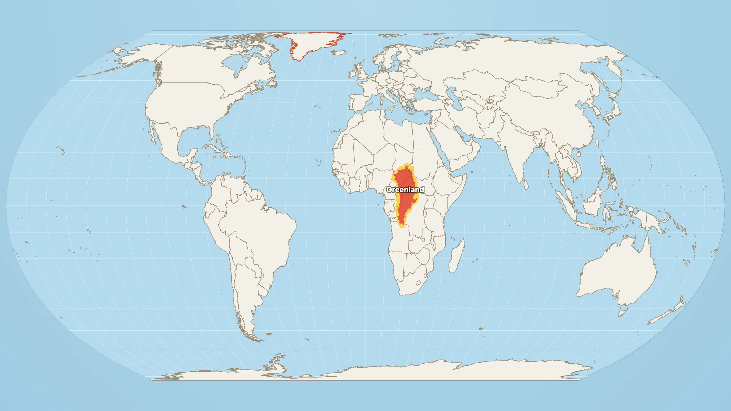
On the wall map, Greenland and Africa can look like peers. One white slab, one big continent, roughly the same visual weight if you squint.
Do not squint. Measure.
Africa: about 30.4 million km². Greenland: 2,154,786 km².
30.4 ÷ 2.15 ≈ 14.
Fourteen Greenlands. That is the number French Foreign Minister Jean-Noël Barrot used on the day of the UN Correct the Map vote — and it is what you get if you stop trusting the poster and do the division.
The division, with Greenland already parked on the continent, is on Greenland vs Africa.
Where the lie comes from
Mercator (1569) keeps sailing bearings straight. The price is area: land near the poles is stretched; land near the equator is not. Greenland sits between about 60° and 83° N, so it arrives on the classroom map wearing a costume. Africa straddles the equator, so it arrives mostly without one. Put them on the same wall and the costume wins.
Greenland is still enormous — the world’s largest island. Brazil alone is nearly four times bigger. Fourteen Greenlands fitting inside Africa is not an insult to the island. It is an audit of the map.
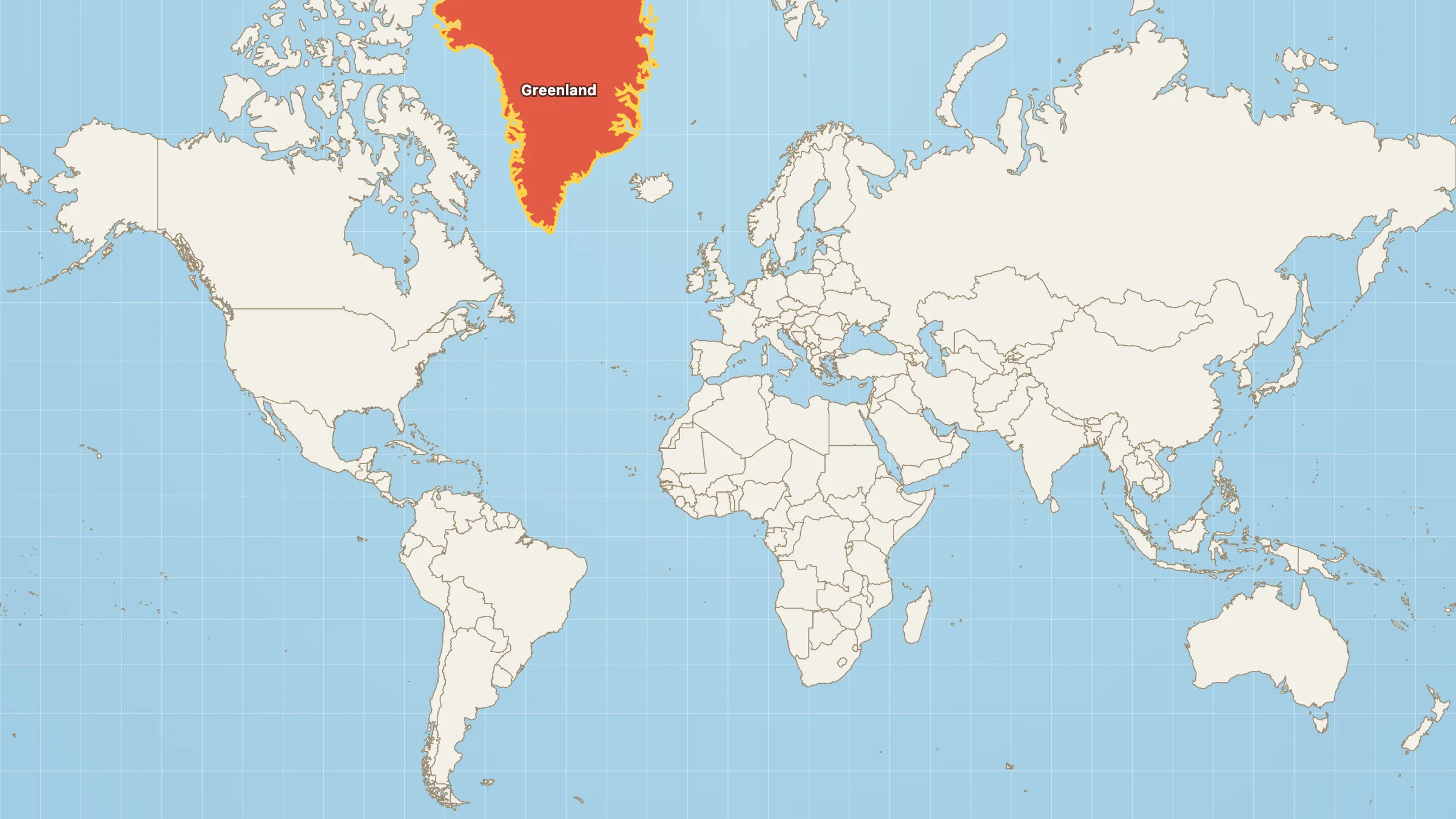
Mercator, the classroom default. This is the picture that made “Greenland ≈ Africa” feel normal.
Count them yourself
Open Greenland on Equal Earth, already parked on Africa. Picture the outline fourteen times, or trust the arithmetic. Then switch View to Mercator and watch one island swell until it looks like a peer of a continent.
If you want the next African scale shock, drop the USA, China and India inside the same outline. Fourteen Greenlands. Three modern giants. One continent the wall map has been underselling for four and a half centuries.